 Laurel, Nebraska
Uncommon
Rarity: Uncommon
A topic a little better known than average, read and translated beyond its own country.
Rarity follows how well known the article is: its views on the French and English Wikipedia over a year, and the number of languages it exists in.
At a glance
- Class
- Place
- Domain
- History and politics
- In collections
- Nobody has pulled it yet.
What Wikipedia says
Laurel is a city in Cedar County, Nebraska located at the merger of Highway 20 and Highway 15 in the northeast corner of the state. Laurel sits roughly 40 miles east of Norfolk, Nebraska, west of Sioux City, Iowa, and south of Yankton, South Dakota. Wayne State College in Wayne, Nebraska is 15 miles south of Laurel.
Excerpt from the Wikipedia article “Laurel, Nebraska”, under the CC BY-SA 4.0 license. Read the article on Wikipedia
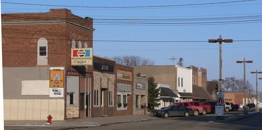
Image: Ammodramus, Public domain, via Wikimedia Commons.
Open free boosters and add Laurel, Nebraska to your collection.
Play for free