 Digital elevation model
Uncommon
Rarity: Uncommon
A topic a little better known than average, read and translated beyond its own country.
Rarity follows how well known the article is: its views on the French and English Wikipedia over a year, and the number of languages it exists in.
At a glance
- Class
- Notion
- Domain
- Science and technology
- In collections
- Nobody has pulled it yet.
What Wikipedia says
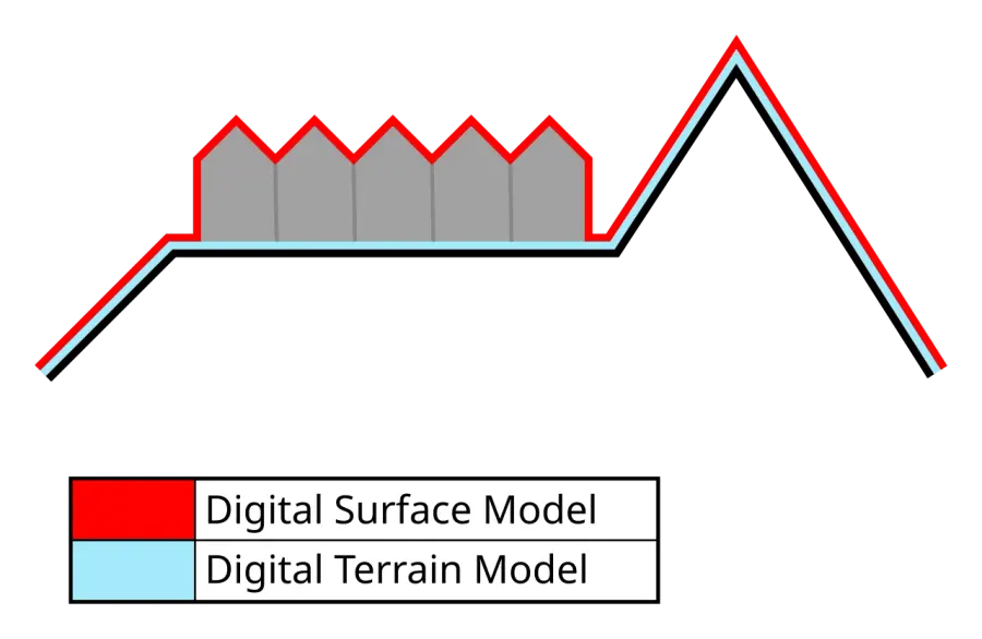
A digital elevation model (DEM) or digital surface model (DSM) is a 3D computer graphics representation of elevation data to represent terrain or overlaying objects, commonly of a planet, moon, or asteroid. A "global DEM" refers to a discrete global grid.
Excerpt from the Wikipedia article “Digital elevation model”, under the CC BY-SA 4.0 license. Read the article on Wikipedia
Image: Yodin, CC BY-SA 4.0, via Wikimedia Commons.
Open free boosters and add Digital elevation model to your collection.
Play for free