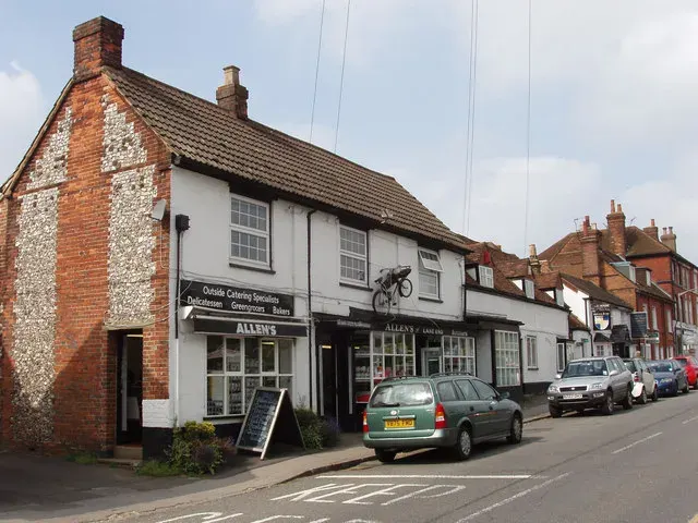
 Lane End, Buckinghamshire
Common
Rarity: Common
The most frequent rarity: most Wikipedia articles become Commons.
Rarity follows how well known the article is: its views on the French and English Wikipedia over a year, and the number of languages it exists in.
At a glance
- Class
- Place
- Domain
- History and politics
- In collections
- Nobody has pulled it yet.
What Wikipedia says
Lane End is a village and civil parish in Buckinghamshire, England. It is just south of the M40 from High Wycombe, about 2 miles (3.2 km) west of Booker. The village is twinned with Saint-Pierre-d'Oléron in France.
Excerpt from the Wikipedia article “Lane End, Buckinghamshire”, under the CC BY-SA 4.0 license. Read the article on Wikipedia
Image: David Hawgood, CC BY-SA 2.0, via Wikimedia Commons.
Open free boosters and add Lane End, Buckinghamshire to your collection.
Play for free