 Belgium–France border
Common
Rarity: Common
The most frequent rarity: most Wikipedia articles become Commons.
Rarity follows how well known the article is: its views on the French and English Wikipedia over a year, and the number of languages it exists in.
At a glance
- Class
- Notion
- Domain
- Science and technology
- In collections
- Nobody has pulled it yet.
What Wikipedia says
The Belgium–France border, or more commonly the Franco-Belgian border, separates France and Belgium and is 620 km (390 mi) long. Part of it is defined by the Lys river. The western end is at the North Sea (51°5′22″N 2°32′43″E near De Panne and Bray-Dunes).
Excerpt from the Wikipedia article “Belgium–France border”, under the CC BY-SA 4.0 license. Read the article on Wikipedia
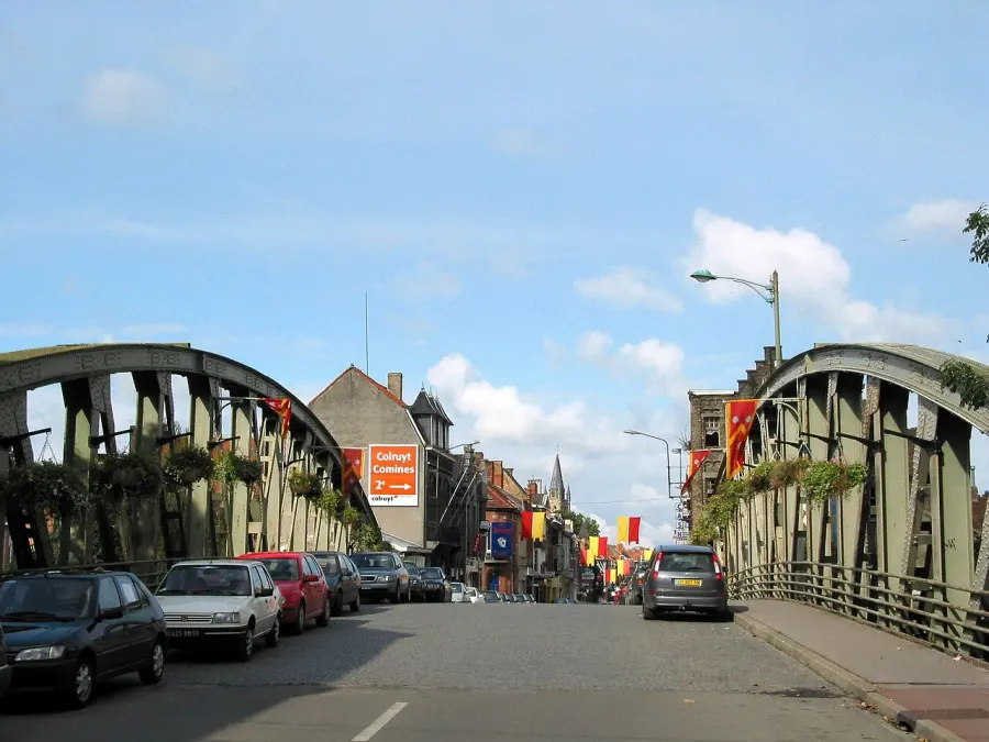
Image: Jean-Pol GRANDMONT, CC BY 2.5, via Wikimedia Commons.
Open free boosters and add Belgium–France border to your collection.
Play for free