 Satellite geodesy
Common
Rarity: Common
The most frequent rarity: most Wikipedia articles become Commons.
Rarity follows how well known the article is: its views on the French and English Wikipedia over a year, and the number of languages it exists in.
At a glance
- Class
- Notion
- Domain
- Science and technology
- In collections
- Nobody has pulled it yet.
What Wikipedia says
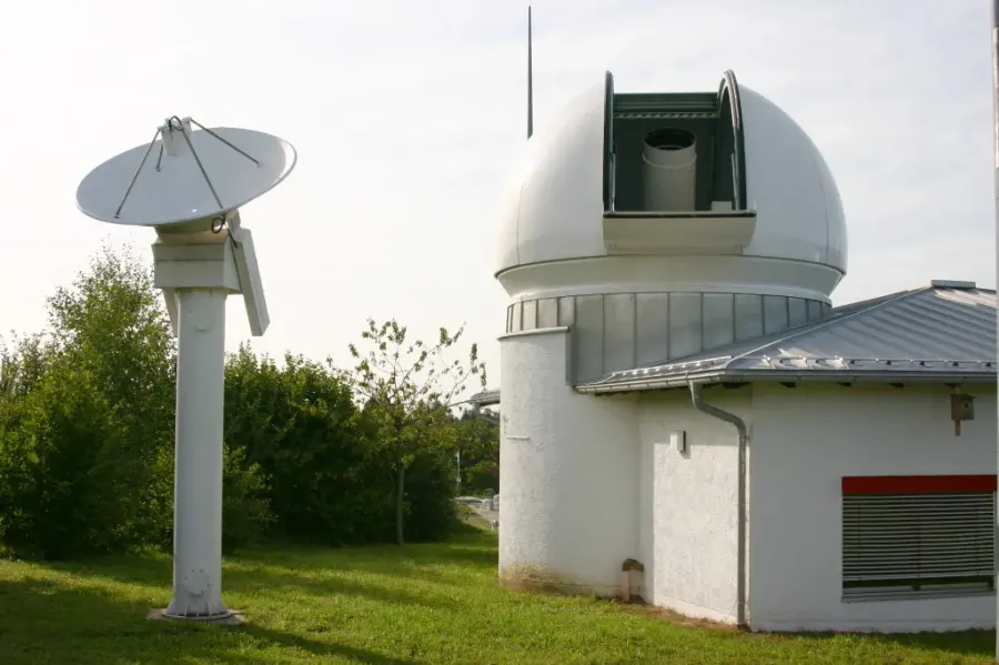
Satellite geodesy is geodesy by means of artificial satellites—the measurement of the form and dimensions of Earth, the location of objects on its surface and the figure of the Earth's gravity field by means of artificial satellite techniques. It belongs to the broader field of space geodesy.
Excerpt from the Wikipedia article “Satellite geodesy”, under the CC BY-SA 4.0 license. Read the article on Wikipedia
Image: H. Raab (User:Vesta), CC BY-SA 3.0, via Wikimedia Commons.
Open free boosters and add Satellite geodesy to your collection.
Play for free