
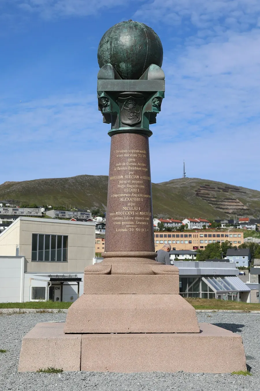
 Struve Geodetic Arc
Rare
Rarity: Rare
A topic known well beyond its field, found in many languages.
Rarity follows how well known the article is: its views on the French and English Wikipedia over a year, and the number of languages it exists in.
At a glance
- Class
- Place
- Domain
- History and politics
- In collections
- Nobody has pulled it yet.
What Wikipedia says
The Struve Geodetic Arc is a chain of survey triangulations stretching from Hammerfest in Norway to the Black Sea, through ten countries and over 2,820 kilometres (1,750 mi), which yielded the first accurate measurement of a meridian arc.
Excerpt from the Wikipedia article “Struve Geodetic Arc”, under the CC BY-SA 4.0 license. Read the article on Wikipedia
Image: Francesco Bini, CC BY-SA 4.0, via Wikimedia Commons.
Open free boosters and add Struve Geodetic Arc to your collection.
Play for free